

Key Takeaways
- Color-coded lines and numbered stations work as a universal transit shorthand in most cities worldwide.
- A few core symbols (arrows, interchange dots, wheelchair icons) appear consistently across systems.
- Offline map apps and downloaded transit data let you navigate without cellular service.
- Matching your destination's name character-by-character removes the need to read the local script.
- Platform direction signs almost always show the terminal station name, not just the next stop.
What you will need
Why transit maps are more readable than they look
Transit systems worldwide follow design conventions established over decades of public use. Harry Beck's 1933 London Underground diagram introduced the idea that geographic accuracy matters less than clear, logical layout. Today's metro and bus maps in Tokyo, Paris, Mexico City, and dozens of other cities use the same logic: simplified geometry, color separation between lines, and consistent symbols for transfers, terminals, and accessibility features.
That shared visual grammar means a traveler who cannot read a single word of Japanese or Czech can still extract the information needed to board the right train. The challenge is knowing which visual elements carry meaning and which are decorative. For more background on planning before you leave home, see the complete trip-planning walkthrough.
Offline maps app (e.g., Google Maps offline, Maps.me)
Lets you view transit routes and station names without a cellular or Wi-Fi connection.
Printed or PDF transit map
A physical or saved backup that works when your phone battery or data fails.
Translation app with camera function
Converts photographed signage into readable text in real time.
How to read the map step by step
What you will need
Identify the line colors and numbers
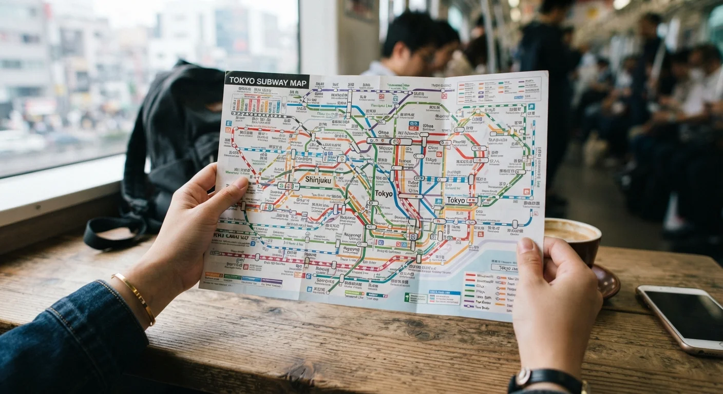
Most transit networks assign each line a distinct color and, in many cities, a number or letter too. On the map, trace your starting point and destination to see which colored lines connect them. Even if you cannot read station names, the color is your primary anchor: find it on the map, find it on the platform signs, and you are oriented.
Count the stations between you and your stop
Locate your current station and your destination on the map, then count the stops between them. Write that number down. On board, watch the station indicator screen or listen for chime patterns to track each stop as it passes. This method works even when you cannot parse announcements or display text.
Read the terminus name, not the destination name
Platform signs and train fronts typically show the last station on that line, not intermediate stops. Find the terminus at the far end of your line in the direction you need to travel. That word or character string is what you match on the platform sign. You do not need to read it; you only need to match it visually to what you wrote down before entering the station.
Recognize the standard interchange symbol
A transfer point between two lines is almost universally shown as a circle or hollow dot where two colored lines cross. On the ground, these stations have color-coded signage pointing toward each connecting line. Follow the color of the line you are transferring to; the arrows will take you to the correct platform without any language required.
Use the exit number, not the street name
Many metro systems, particularly in East Asia and parts of Europe, number each exit. If you noted "Exit 3" from your offline map before entering, look for the number 3 on overhead signs as you approach street level. Numbers are one of the most consistent cross-language elements in transit signage worldwide.
Confirm with platform screen doors or zone maps
Most modern metro cars have a strip map above the doors showing the current line with stations marked in sequence. Find your station on that strip and count again to confirm your earlier count was correct. If the strip map uses local script only, count the total number of dots or stops from your current position to match what you calculated above ground.
What to do when the map runs out
Paper maps and even offline apps do not cover every bus route or regional rail variation. When you reach the edge of what a map shows, the most reliable next step is to show a station attendant your destination written in the local script and point to your map. Station staff in most urban systems are accustomed to this. A translation app with a camera mode can photograph a bus schedule board and render it in English within seconds, which is useful for timed departures that a transit map does not include.
If you travel frequently into neighborhoods that tourist maps omit, the article on getting around cities on local transit covers informal options like shared taxis and neighborhood ferries that operate outside the standard network. For broader communication strategies when language is a barrier, the guide on navigating a language barrier applies directly to transit situations too.
One practical habit: before leaving your accommodation each day, screenshot or photograph the transit map section relevant to your planned route. Store it in a dedicated album so you can find it without signal. That single step removes the most common source of confusion when you are already underground and the data connection is gone.